|
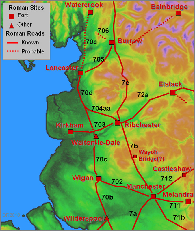
Possible Roman Road Lancaster to Quernmore KilnsMargary Number: NADistance: unknownOften suggested as a possible Roman road to the Kilns at Quernmore (and even on through the Trough of Bowland) this road certainly has several Roman characteristics which lends support this supposition. However, as yet there is no independent supporting evidence and (currently) with limited Lidar data this will have to await confirmation. |
Historic County: Lancashire Current County: Lancashire HER: Lancashire
|
|
Click for full size map
|
|
|
|
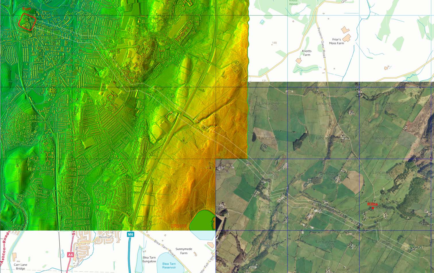
Lidar and Aerial Composite Image - Lancaster to Quernmore The route follows modern roads entirely but these do have all the characteristics of a Roman route to Quernmore and the Roman kilns there. Lidar currently runs out at Langthwaite Heights so investigation further on will have to await the Environment Agency's new Lidar survey. |
Click for larger view |
 |
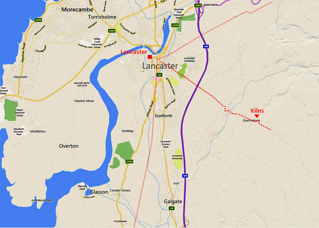
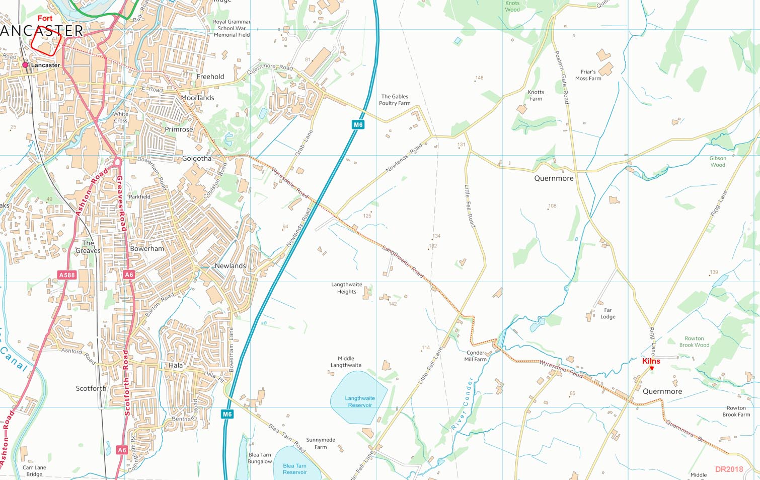
Route Map - Lancaster to Quernmore The route is very direct and those zig-zags to negotiate the hills are certainly how a Roman engineer would have designed the road. It does look convincing. |
Click for larger view |
 |
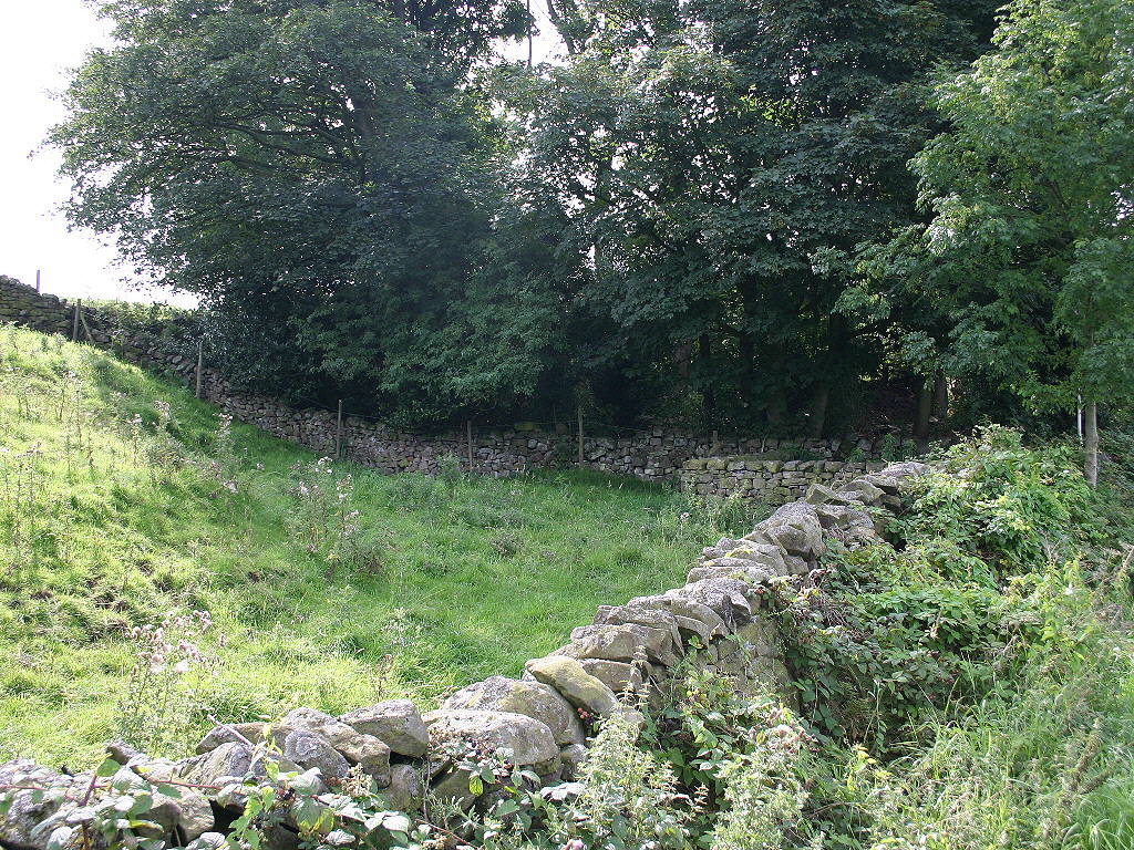
Quernmore - Roman Kilns SIte Not actually on the possible Roman road but just off it to the north-east of Quernmore village. |
Click for larger view |
 |
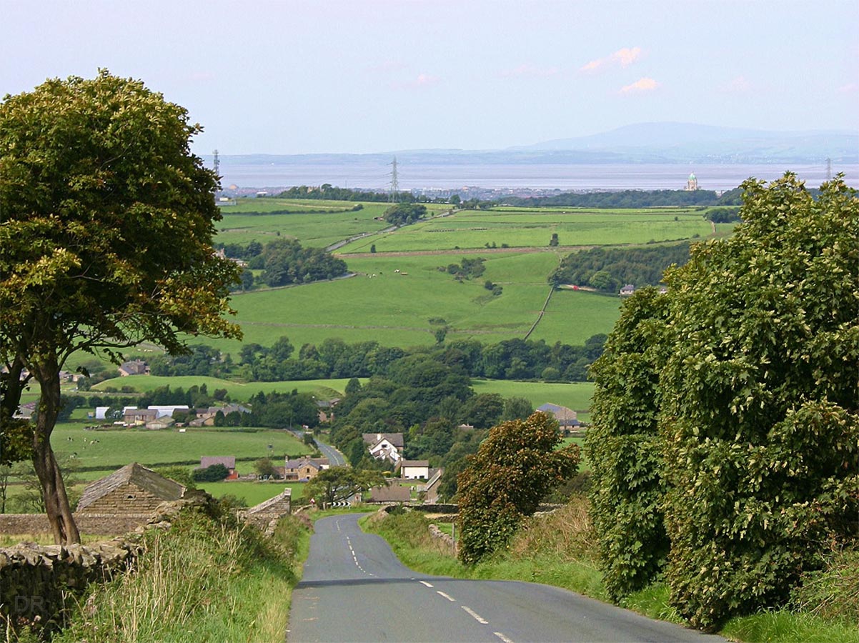
Quernmore - looking back to Lancaster From just beyond Quernmore, above the last zig-zag. Lancaster Castle (and fort site) can be made out fractionally right of centre. As the Roman characteristics of this road continue on beyond Quernmore and the kilns it possibly had a further destination in mind but with currently no Lidar data here then this is just speculation for the present. |
Click for larger view |
 |
|
|
|
Last update: April 2018 |
© David Ratledge |