full title

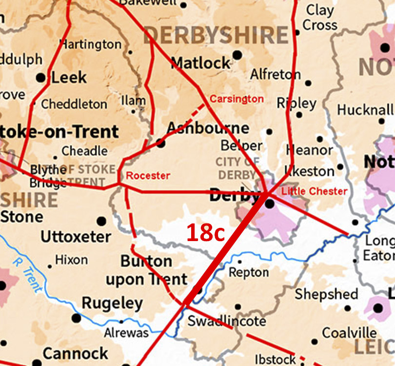
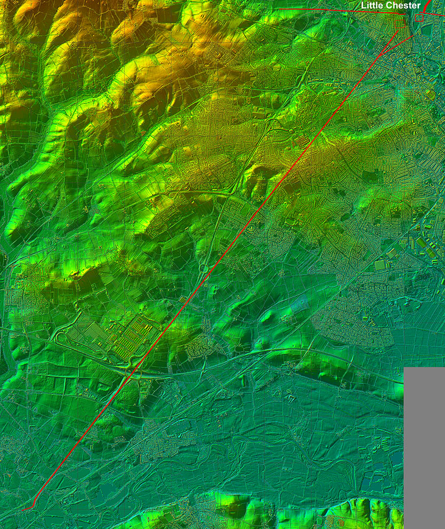
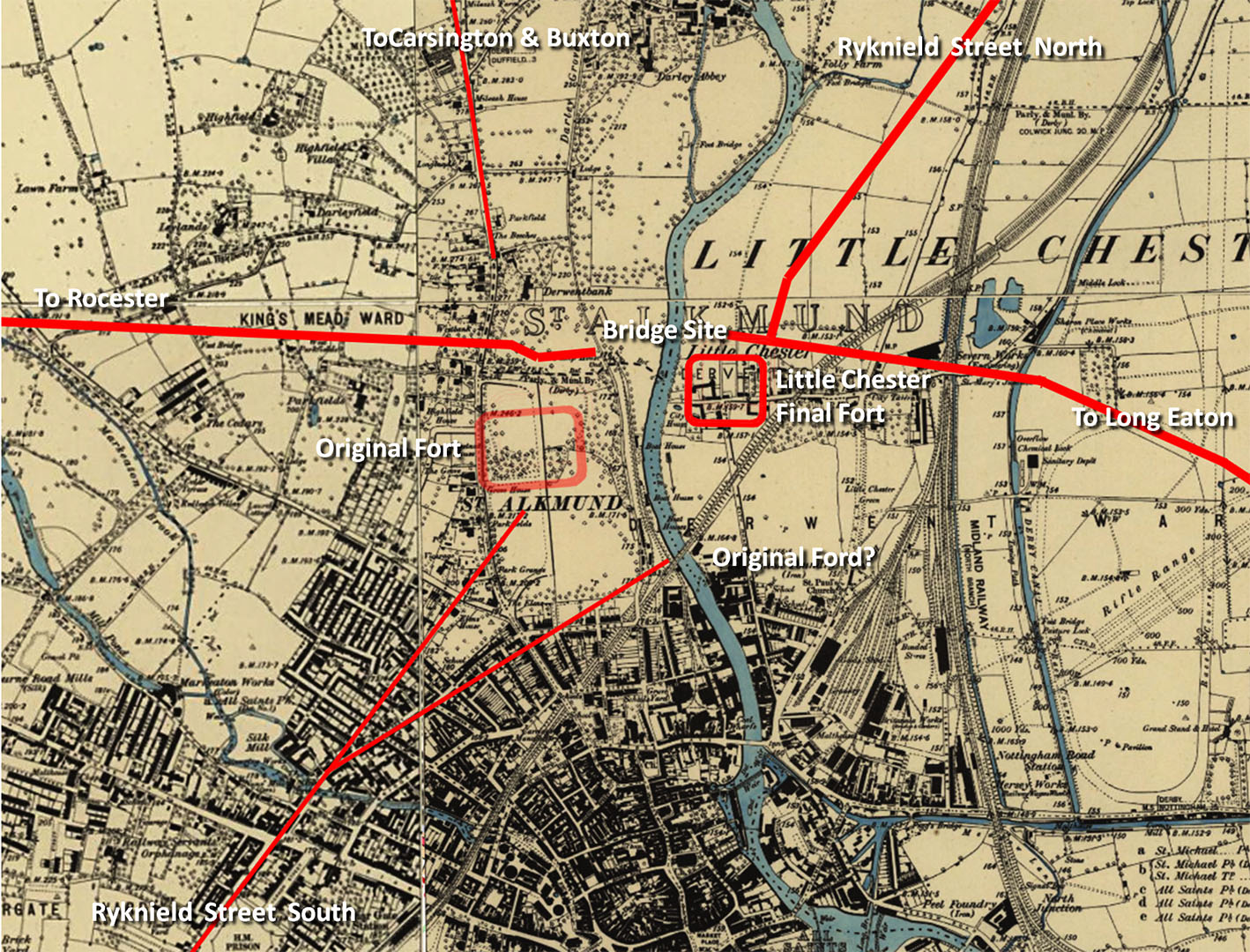
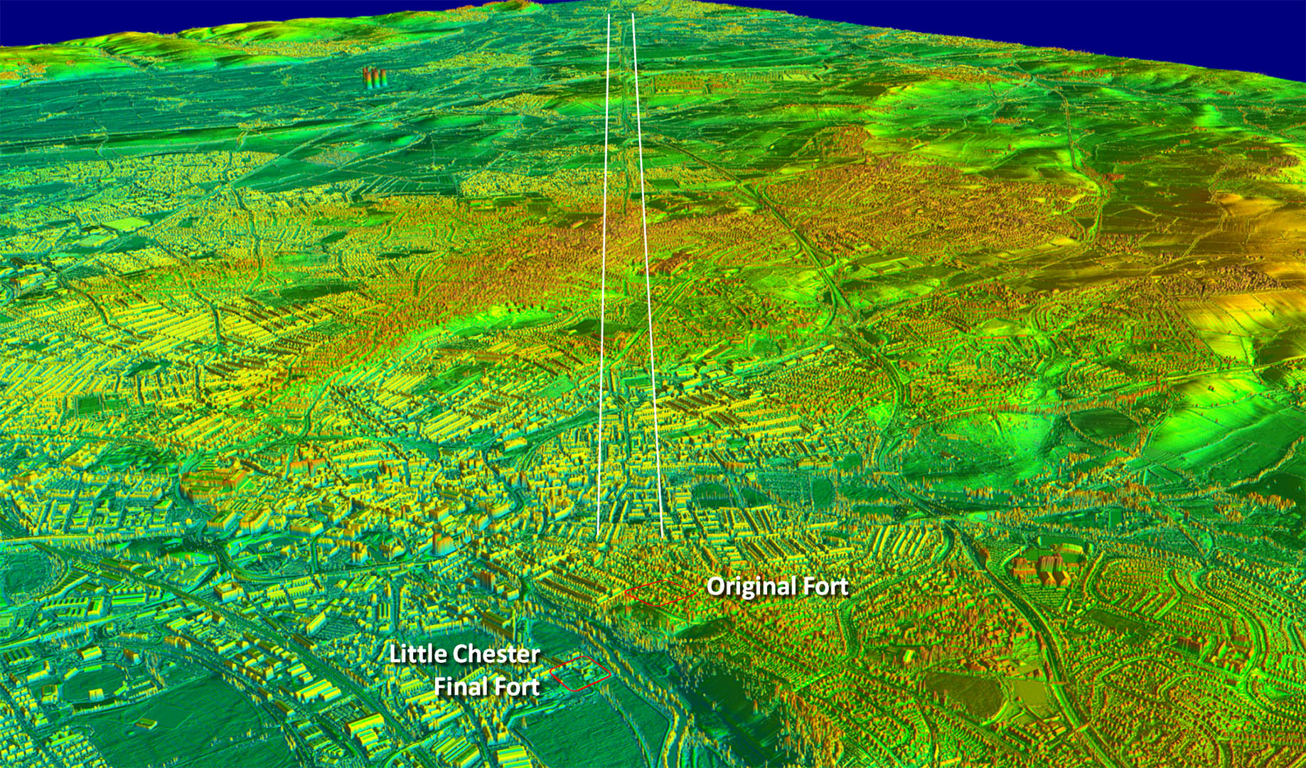
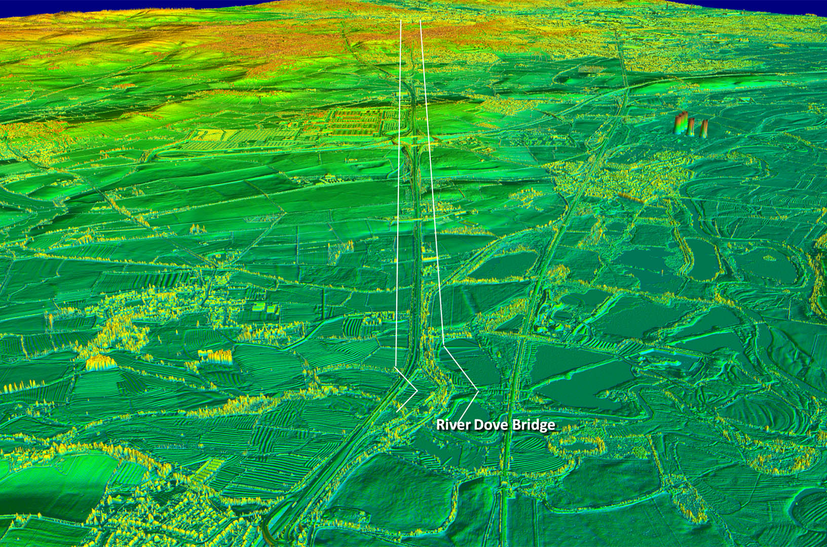
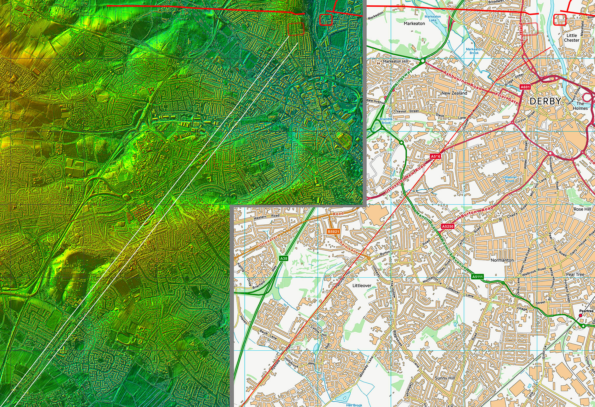
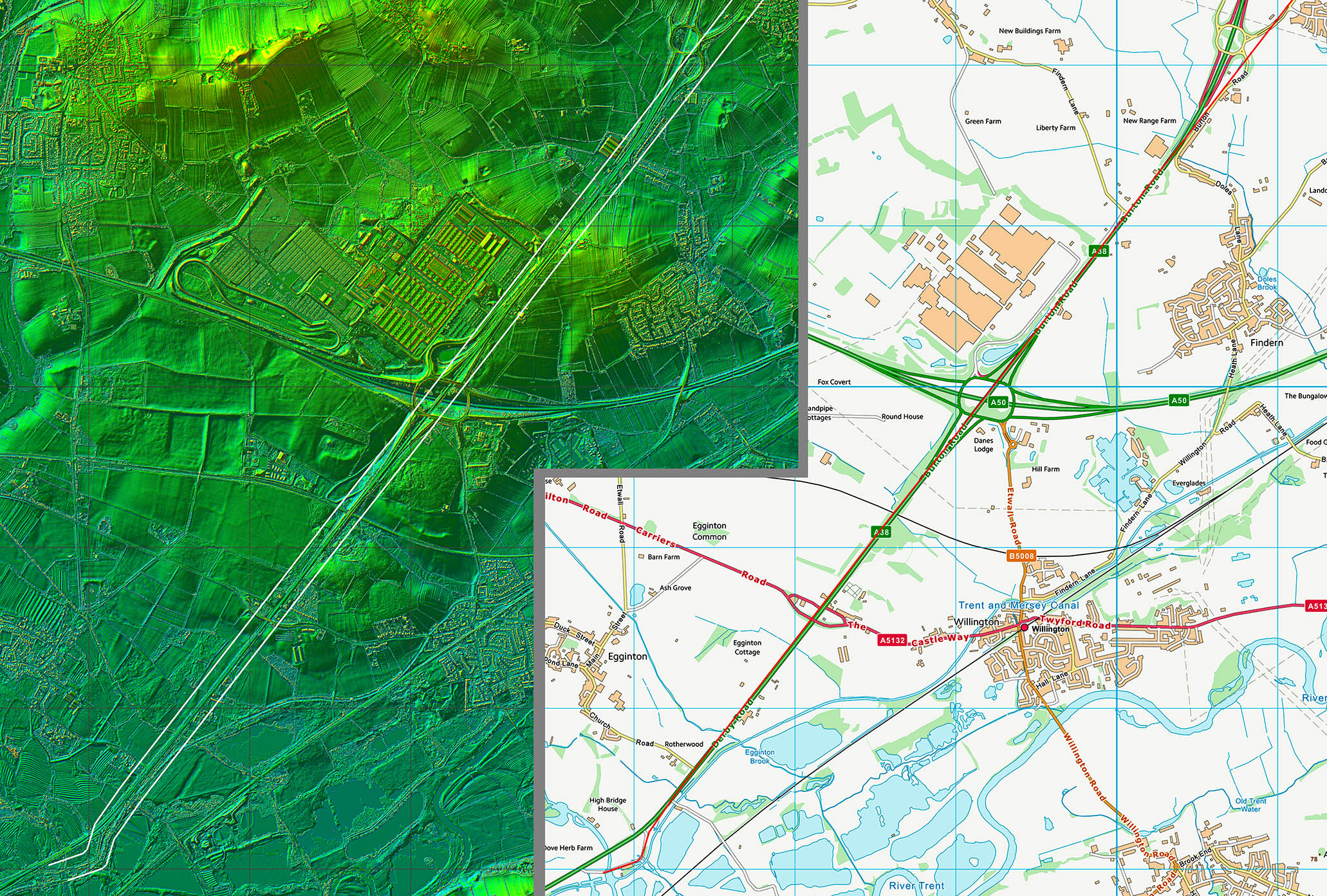
The Roman Road from Little Chester to Egginton Bridge, Ryknield Street

Margary Number: 18c

Distance: 8.5 miles (to county boundary)

Couldn't be a simpler Roman road but it does reveal that it was set out from the original early Roman fort so indicates Ryknield Street must have been an early road too. Probably not a surprise.


Historic Counties: Derbyshire

Current Counties: Derbyshire

HER: Derbyshire


location


Lidar Image - Full Route

Couldn't be more direct could it. The county boundary is the River Dove.

Click for larger view
full route

Little Chester Forts & Road System

The line of Ryknield Street aligns with the original (short-lived) fort. The branch was probably for the best crossing point of the river. When the final fort was built and a bridge constructed, the bridge was adjacent to the new fort. The line of the road to Rocester is aligned with the bridge not the original fort so presumably was a later road.

Click for larger view
derby-first ed-map

Oblique 3D Lidar Image -

Well yes Roman roads are straight and this one confirms that!


Click for larger view


3D lidar

Bridge over Markeaton Brook

This bridging point of Markeaton Brook is online so I guess the modern bridge could well be on top of the Roman original. Is that cutwater preserving the Roman foundation?

Click for larger view


markeaton-bridge

Constable Lane

Constable Lane is on the line of Ryknield Street

Click for larger view
Constable Lane

Oblique 3D Lidar Image - Looking back from Egginton (Old) Bridge

There was probably a little dog-leg to get to the best crossing point. I have come across this before. There is a spur of high ground into the flood plain and guess is this is why there would have been a dogleg.

Click for larger view


river-dove

Lidar Image & Route Map 1


Click for larger view
map1

Lidar Image & Route Map 2


Click for larger view
map2

Last update: March 2026

© David Ratledge