
|
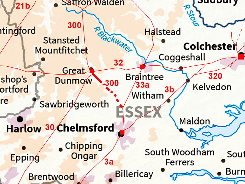
The Roman Road from Great Dunmow to Little Waltham (for Chelmsford)Margary Number: 300Distance: 7.5? miles A puzzling road that should be there but has several large gaps that cast some doubt on its authenticity. To connect to Chelmsford it would share the final alignment down the Chelmer valley with Margary 33a, which is not in doubt.
|
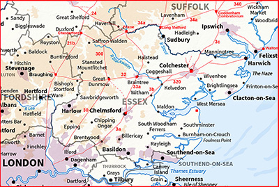
Historic Counties: Essex Current Counties: Essex HER: Essex
|
|
|
|
|
|
Lidar Image - Full Route Very obvious leaving Great Dunmow there are perhaps too many dotted sections where there is virtually nothing visible in the Lidar imagery.. |
Click for larger view
|
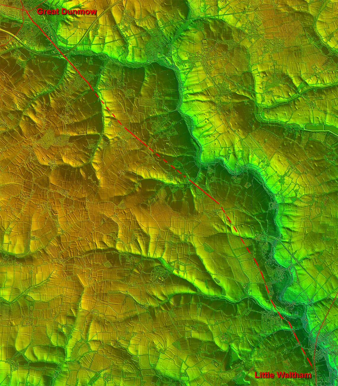 |
Lidar Image and Route Map 1 Leaving Great Dunmow then the route is pretty clear and secure to Barnston. There is then a gap to Onslow Green which the OS mark as "Roman Road". |
Click for larger view |
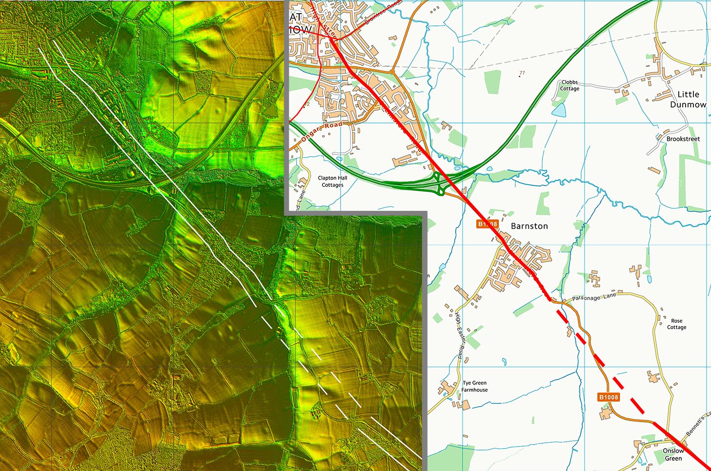 |
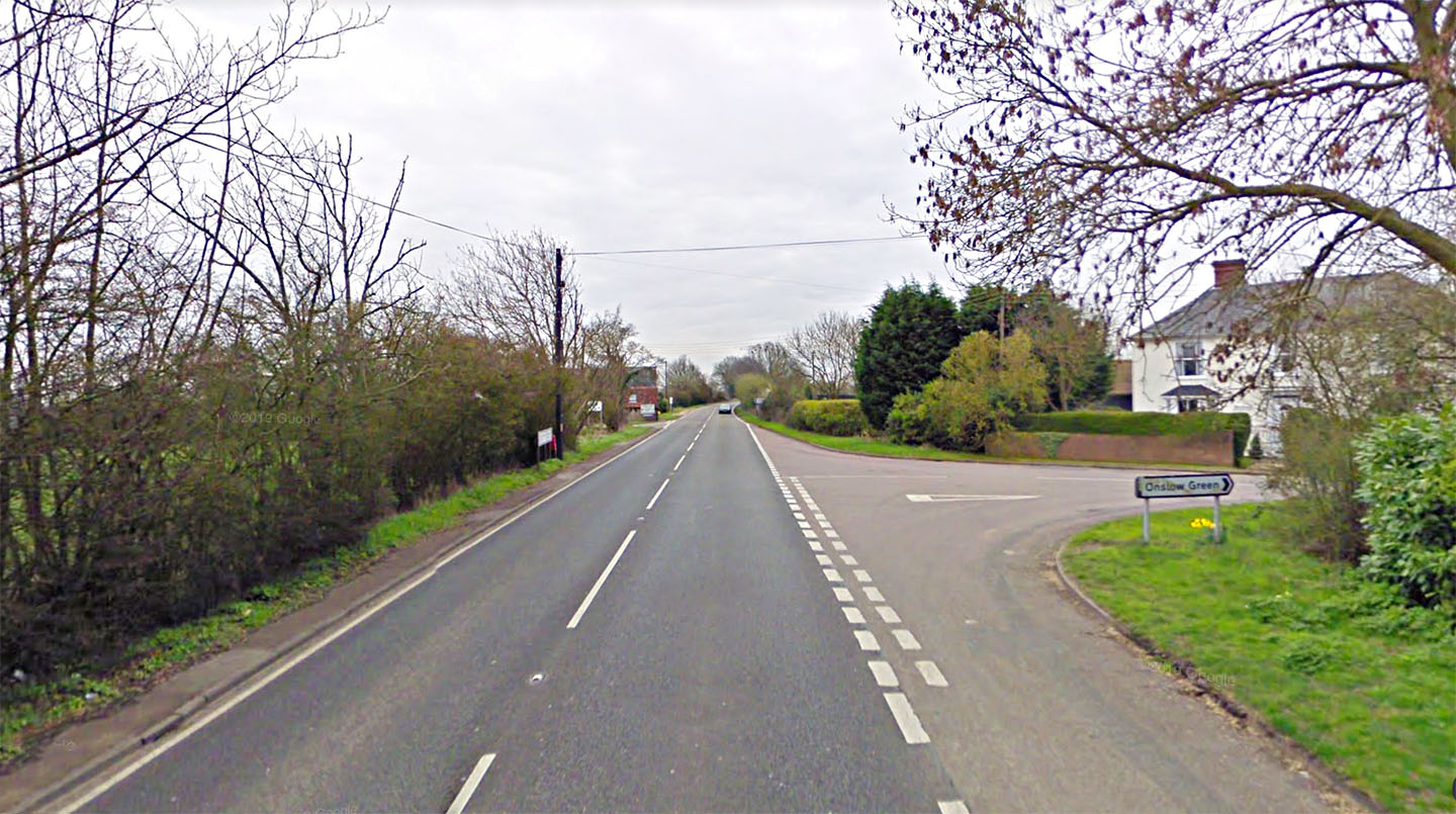
Onslow Green This is the stretch the Ordnance Survey denote as "Roman Raod" at Onslow Green on the B1008. |
Click for larger view |
 |
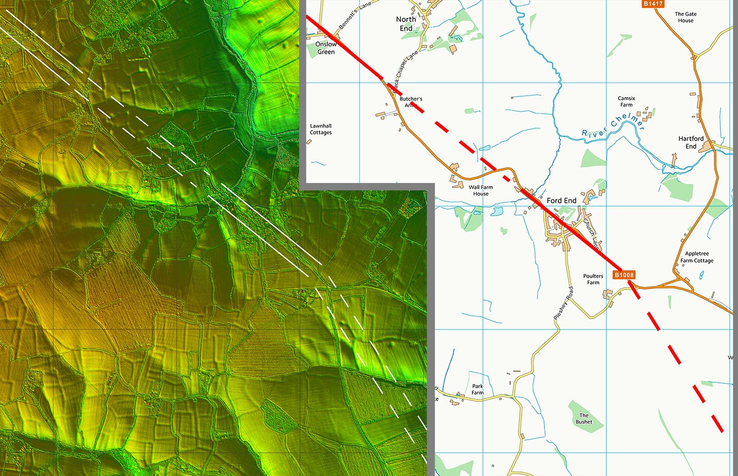
Lidar Image and Route Map 2 The straight stretch of the B1008 at Onslow Green aligns with the modern road again at Ford End. the OS don't mark the Ford End straight as Roman Road but it would seem logical. The problem there is nothing visible in the Lidar data linking the two together. |
Click for larger view |
 |
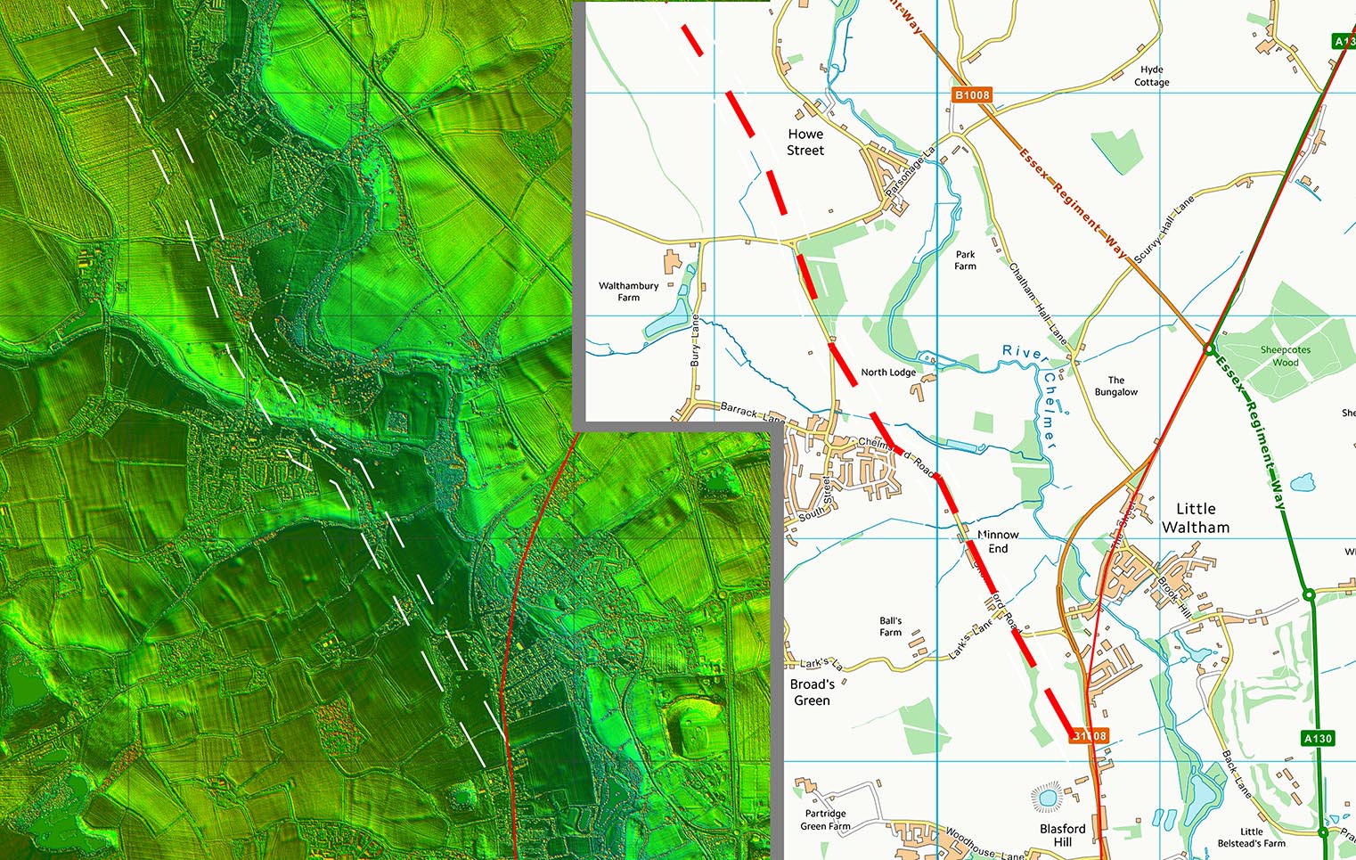
Lidar Image and Route Map 3 Very subjective over this last stretch to join Margary 33a at Little Waltham. |
Click for larger view |
 |
|
|
|
Last update: August 2020 |
© David Ratledge |